 English
 Spanish
 Portuguese

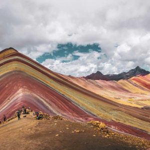
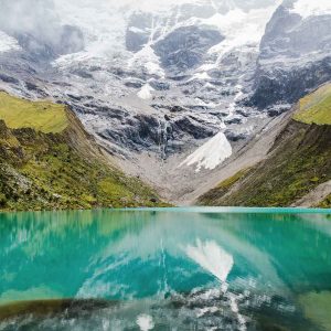
As we already wrote about this Trek, this trek is one of best alternative to the Inca Trail. Following the Salkantay trek map, you will visit and see some of the most beautiful places in the Andes and you will see the Salkantay mountain covered with snow (the altitude is 6372 m) and others places in the route.
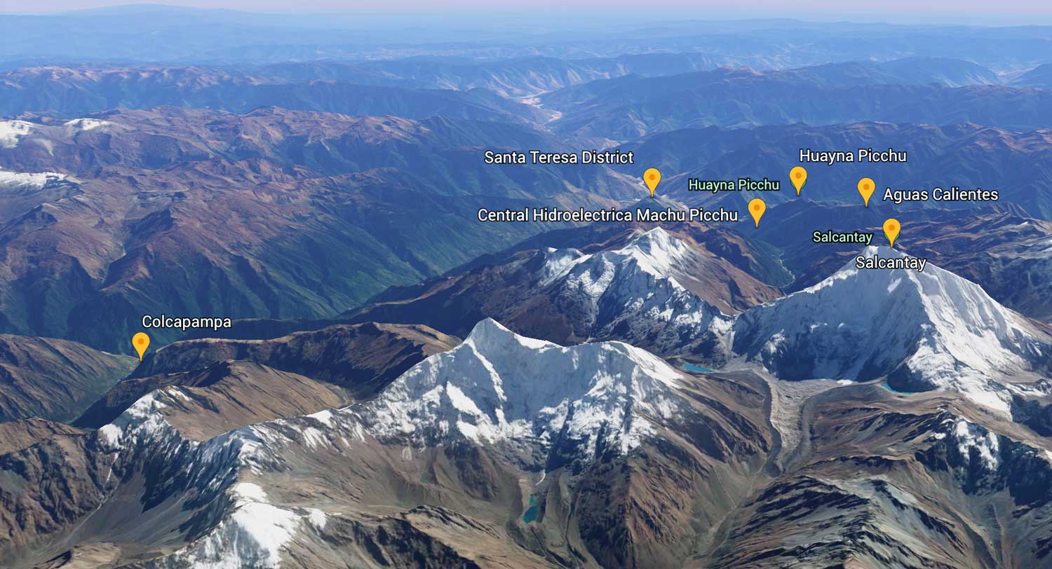
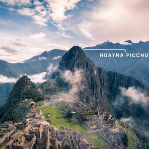
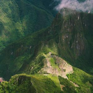
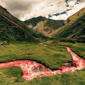
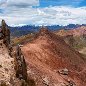
During the route you will find beautiful landscapes with a variety of flora and fauna and will stop at some Inca ruins such as Llactapata, which is located just in front of Machu Picchu.
This road map shows the 5-day walk. And also on this hike we will go through Salkantay Pass (the highest point of the walk).
To undesrstad more about this salkantay trek map, It is surrounded by the historic Machu Picchu National Park and is considered one of the 25 best excursions in the world. This route is very diverse and rich in geography, Andean culture and history.
Salkantay Trek Route Map on Google Maps
This map of the Salkantay route was created by us to show you from where the route starts and where it ends, so you can navigate and see more details by zooming into this map made in Google Maps.